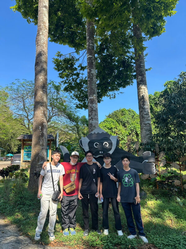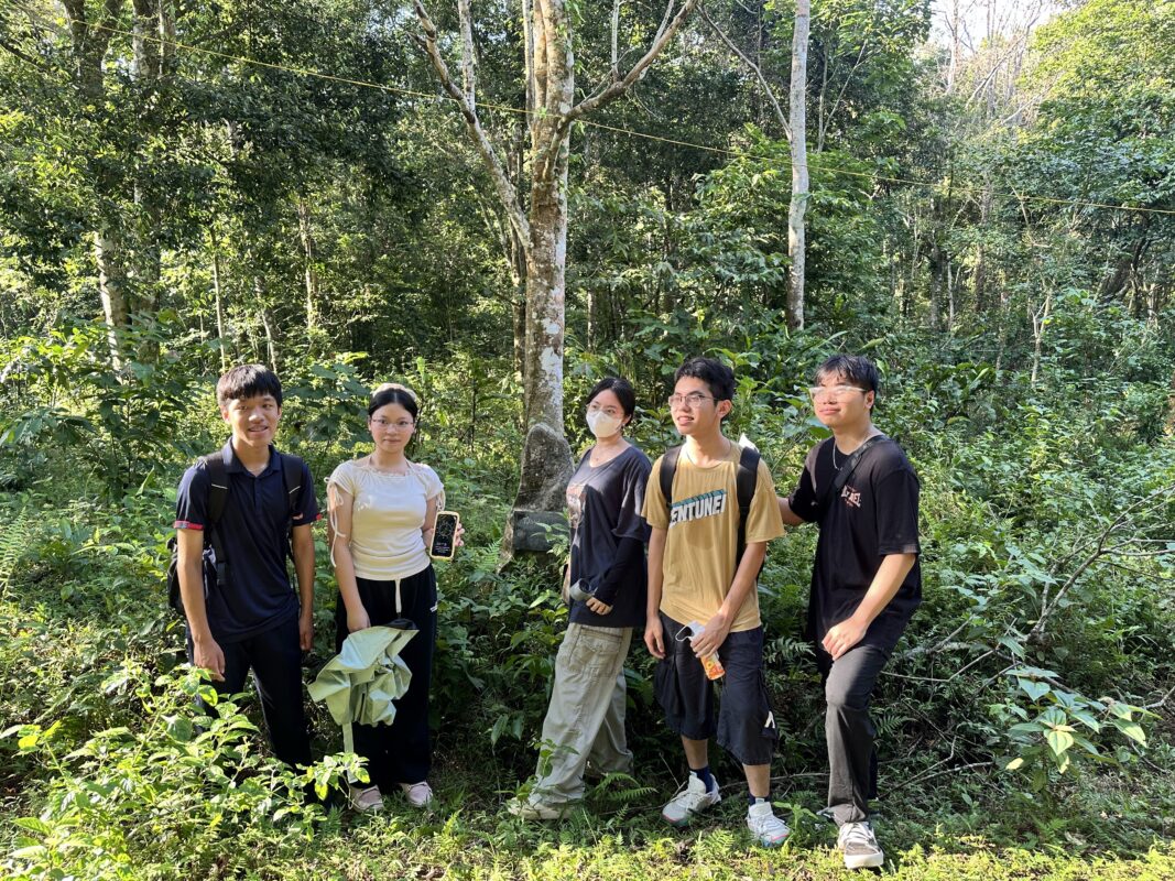
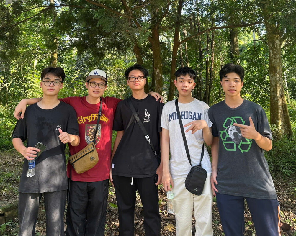
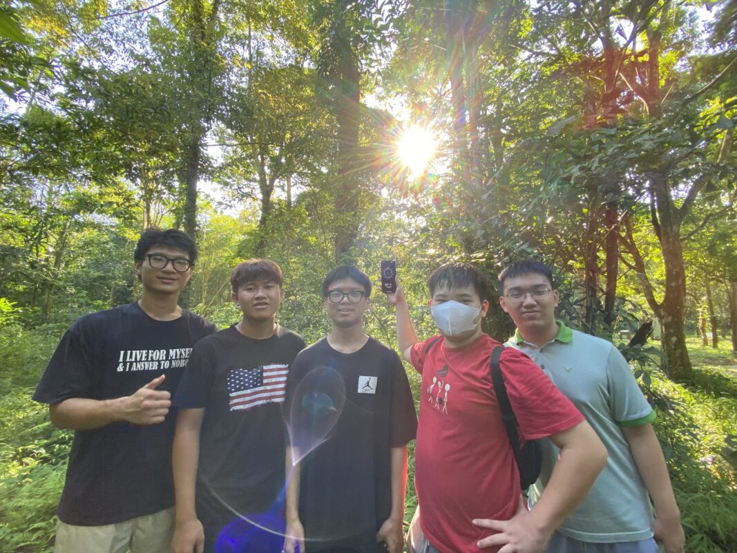
I started YDATA because I wanted to share my passion for data with curious peers. Once, I did a project in my environmental club that involved us trekking through forests to gather information about the area, using GPS devices to capture geospatial data and record features like important locations. Then, we used digital tools like Google My Maps and QGIS to turn that information into digital maps, helping with things like transportation and disaster relief. I was fascinated by the sheer utility of data in our daily lives, and so I dedicated YDATA to helping others learn to create their own valuable personal maps by collecting and analyzing GPS information.
Every dataset we collected in the forest told a story – of rivers winding through mountains, of trails forgotten by time. I realized that numbers could speak the language of nature if we learned how to listen.
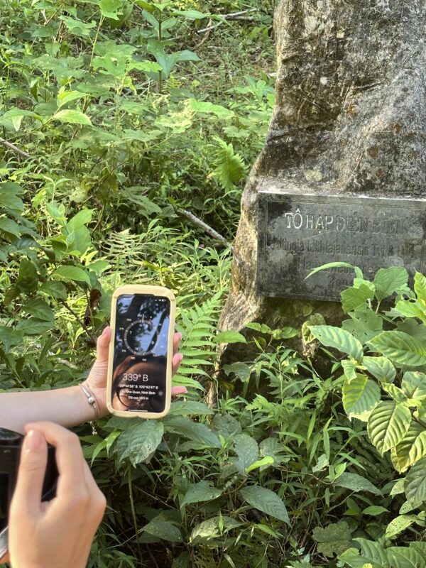
We trekked through dense forests, marking each coordinate under the blazing sun. Later, those dots on a map became living evidence of how data can guide action and inspire awareness.
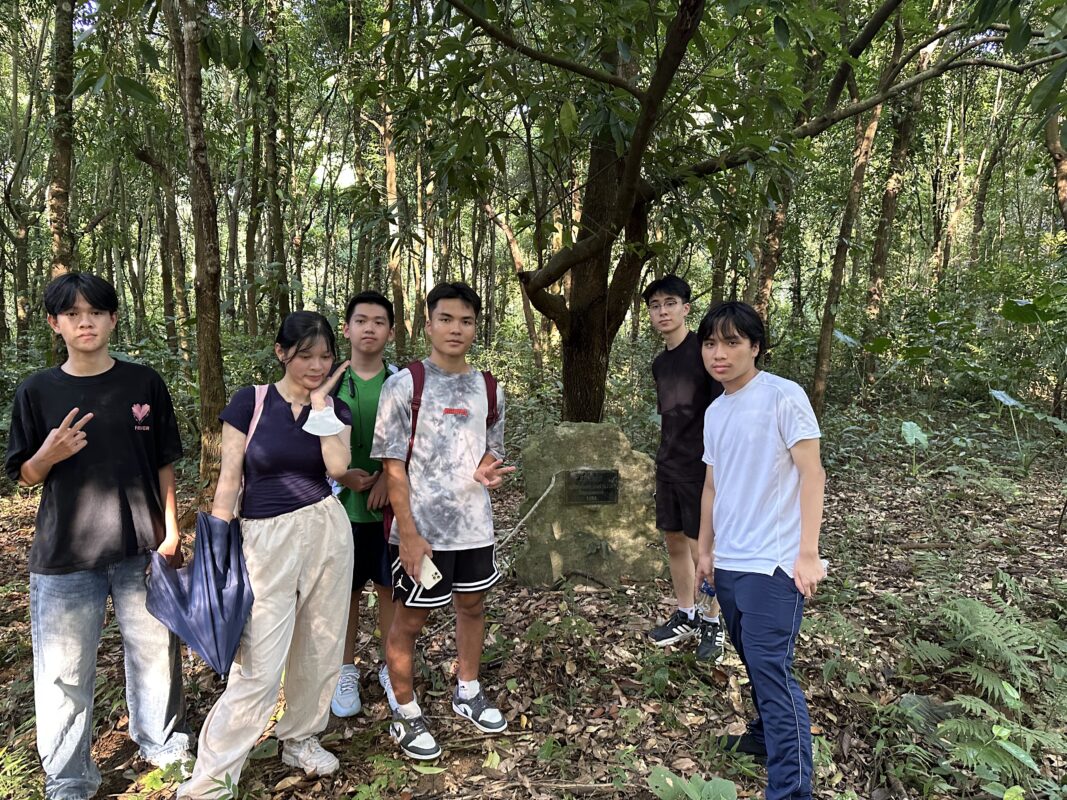
Our small group, laptops and GPS devices in hand, learned to see nature through both eyes and algorithms. Together, we turned curiosity into something that could make a difference.